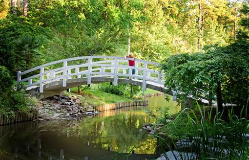
The Tully Trail is a 22-mile loop trail that encircles the largely undeveloped Tully Valley in the North Quabbin Region of Central Massachusetts. From the summit of Tully Mountain to the cascading waters of Doane’s Falls, the trail connects some of the region’s most scenic properties and views.
Before You Begin
Be sure to bring food, water, a map, and compass.
Wear sturdy footwear and adequate clothing.
Wear blaze orange during the hunting season.
On the Trail
The trail is marked with yellow rectangular blazes and blue-purple Tully Trail markers. Be sure to frequently check your location on the map (download below) and take note of landmarks to help you find your way. If you become lost, don't panic. Sit down, remain calm, and try to retrace your steps with the help of the map. A few moments of thought will most likely help you regain your route. Take care when walking along those portions of the trail that follow a road.
Tully Trail is not affiliated with AmericanTowns Media
Whether enjoyed inside or out, flowers and plants help breathe life and joy into our lives. That makes botanical gardens even more special. Check out these 10 beautiful Massachusetts botanical… Read More
Visiting a local dog park is a great way for your best friend to run, play, and socialize with like-minded canines. The following are among the best dog parks in the state of Massachusetts. Whether… Read More
Everyone knows Massachusetts is a big sports state. After all, the Boston Red Sox, New England Patriots, Boston Celtics and the Boston Bruins all call the Bay State home. And what’s the next… Read More
Whether you follow a vegan or a vegetarian diet, you know all too well that dining out can present a problem. Rest assured, there are some exceptional vegan and vegetarian-friendly restaurants all… Read More
Long Island ice tea? Scottish whiskey sour? How about a margarita instead? There’s an art to preparing cocktails, and those who mix them often have a following. Check out these Massachusetts… Read More